|
|
Nagoya, Aichi Prefecture Midori Ward
愛知県名古屋市緑区
|
|
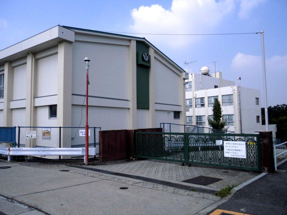
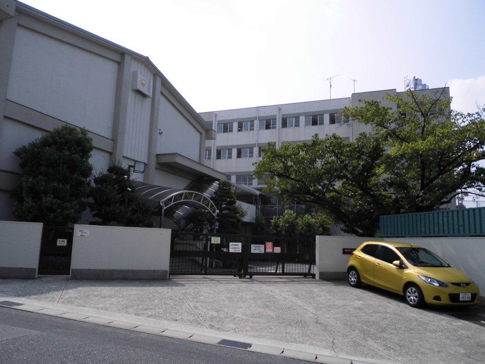
Subway Sakura-dori Line "Kanzawa" walk 18 minutes
地下鉄桜通線「神沢」歩18分
|
|
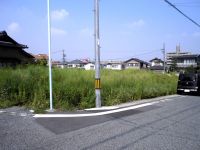
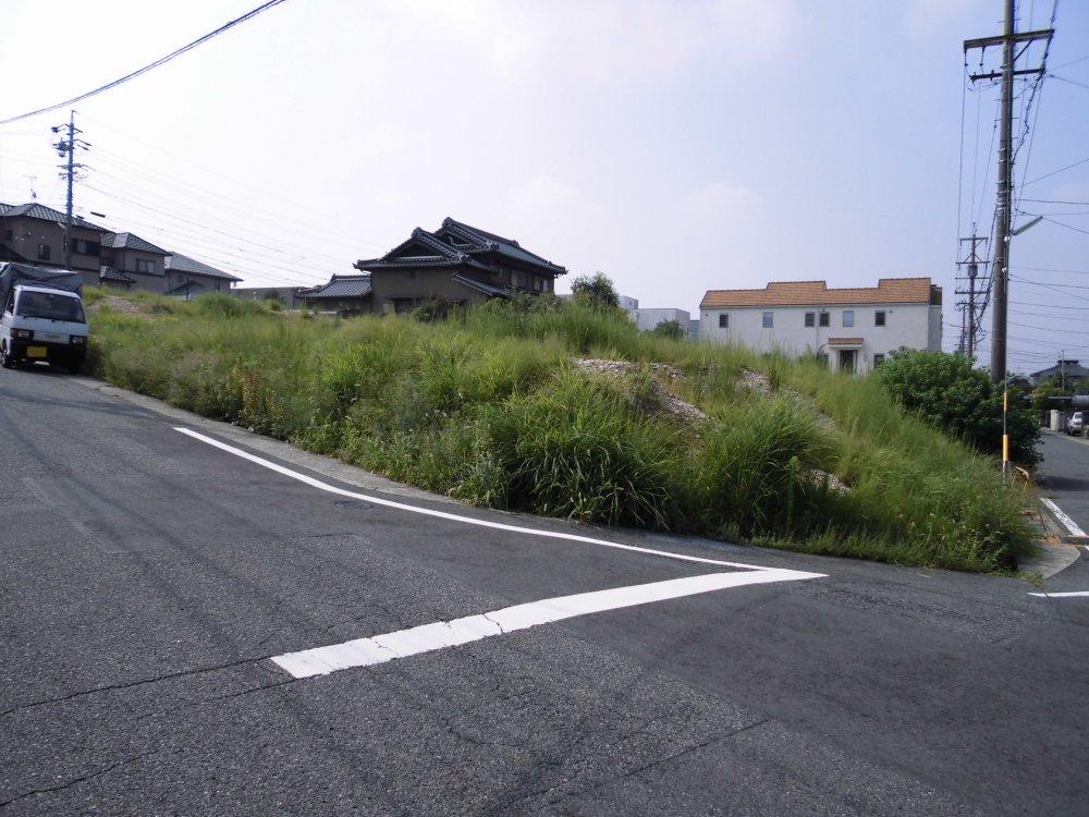
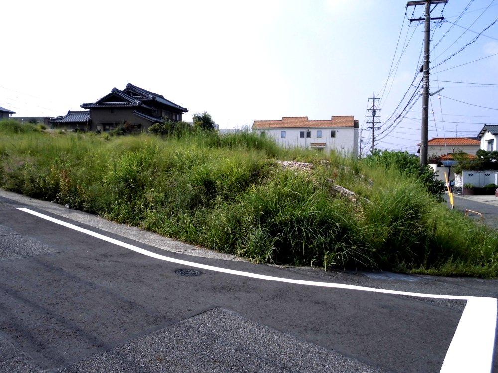
Three-way road in the north-east corner lot!
北東角地の三方道路!
|
|
Land more than 100 square meters, Or more before road 6m, No construction conditions, City gas
土地100坪以上、前道6m以上、建築条件なし、都市ガス
|
Features pickup 特徴ピックアップ | | Land more than 100 square meters / Or more before road 6m / Corner lot / No construction conditions / City gas 土地100坪以上 /前道6m以上 /角地 /建築条件なし /都市ガス |
Price 価格 | | 215 million yen 2億1500万円 |
Building coverage, floor area ratio 建ぺい率・容積率 | | 40% ・ 80% 40%・80% |
Sales compartment 販売区画数 | | 1 compartment 1区画 |
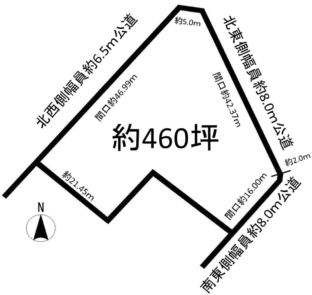
Land area 土地面積 | | 1521 sq m (460.10 tsubo) (Registration) 1521m2(460.10坪)(登記) |
Driveway burden-road 私道負担・道路 | | Nothing, Northwest 6.5m width, Northeast 8m width, Southeast 8m width 無、北西6.5m幅、北東8m幅、南東8m幅 |
Land situation 土地状況 | | Vacant lot 更地 |
Address 住所 | | Nagoya, Aichi Prefecture Midori Ward Umezato 1 愛知県名古屋市緑区梅里1 |
Traffic 交通 | | Subway Sakura-dori Line "Kanzawa" walk 18 minutes 地下鉄桜通線「神沢」歩18分
|
Related links 関連リンク | | [Related Sites of this company] 【この会社の関連サイト】 |
Person in charge 担当者より | | Person in charge of real-estate and building Kitamura Sonomi 担当者宅建北村 園美 |
Contact お問い合せ先 | | TEL: 0800-603-7139 [Toll free] mobile phone ・ Also available from PHS
Caller ID is not notified
Please contact the "saw SUUMO (Sumo)"
If it does not lead, If the real estate company TEL:0800-603-7139【通話料無料】携帯電話・PHSからもご利用いただけます
発信者番号は通知されません
「SUUMO(スーモ)を見た」と問い合わせください
つながらない方、不動産会社の方は
|
Land of the right form 土地の権利形態 | | Ownership 所有権 |
Time delivery 引き渡し時期 | | Consultation 相談 |
Land category 地目 | | Hybrid land 雑種地 |
Use district 用途地域 | | One low-rise 1種低層 |
Other limitations その他制限事項 | | Residential land development construction regulation area, Height district 宅地造成工事規制区域、高度地区 |
Overview and notices その他概要・特記事項 | | Person in charge: Kitamura Sonomi, Facilities: Public Water Supply, This sewage, City gas 担当者:北村 園美、設備:公営水道、本下水、都市ガス |
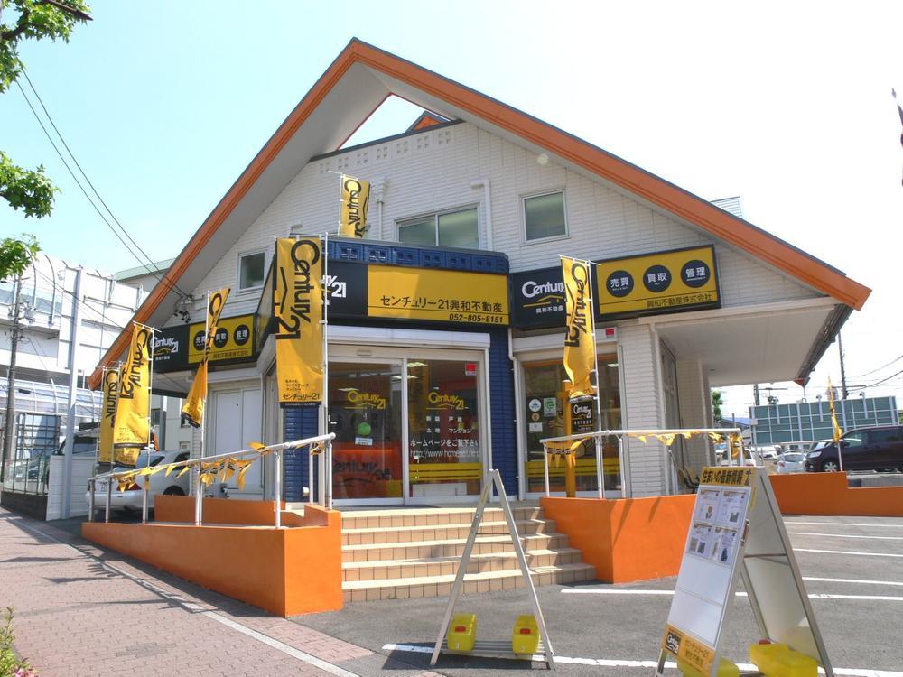
Company profile 会社概要 | | <Mediation> Governor of Aichi Prefecture (2) the first 020,566 No. Century 21 Kowa Real Estate Co., Ltd. Yubinbango468-0015 Tempaku-ku original Nagoya, Aichi Prefecture 1-2401 <仲介>愛知県知事(2)第020566号センチュリー21興和不動産(株)〒468-0015 愛知県名古屋市天白区原1-2401 |