Land/Building » Tohoku » Akita » Yurihonjo
| | Akita Prefecture Yurihonjo 秋田県由利本荘市 |
| JR Uetsu Main Line "Kameda Ugo" walk 34 minutes JR羽越本線「羽後亀田」歩34分 |
| Residential area facing the main road in the regional center. Tensagimura and city hall branch office that was to restore the historic sites of the Edo era ・ Nursery school are within walking distance. 2.3km until Matsugasaki Kameda IC, National Highway 3.3km to Route 7. 地域中心部にある幹線道路に面した住宅地。藩政時代の史跡を復元した天鷺村や市役所出張所・保育園が徒歩圏内にあります。松ヶ崎亀田ICまで2.3km、国道7号線まで3.3km。 |
Features pickup 特徴ピックアップ | | Land more than 100 square meters / See the mountain / It is close to the city / Yang per good / Flat to the station / Around traffic fewer / Or more before road 6m / Leafy residential area / Flat terrain 土地100坪以上 /山が見える /市街地が近い /陽当り良好 /駅まで平坦 /周辺交通量少なめ /前道6m以上 /緑豊かな住宅地 /平坦地 | Price 価格 | | 6,320,000 yen 632万円 | Building coverage, floor area ratio 建ぺい率・容積率 | | 70% ・ 400% 70%・400% | Sales compartment 販売区画数 | | 1 compartment 1区画 | Land area 土地面積 | | 696.67 sq m (210.74 tsubo) (Registration) 696.67m2(210.74坪)(登記) | Driveway burden-road 私道負担・道路 | | Nothing, Southeast 7m width (contact the road width 10.9m), Northwest 6m width (contact the road width 6.8m) 無、南東7m幅(接道幅10.9m)、北西6m幅(接道幅6.8m) | Land situation 土地状況 | | Vacant lot 更地 | Address 住所 | | Akita Prefecture Yurihonjo Iwaki Kamedakameda-cho Shinmachi 31-2 秋田県由利本荘市岩城亀田亀田町字新町31-2他3筆 | Traffic 交通 | | JR Uetsu Main Line "Kameda Ugo" walk 34 minutes
Ugo traffic "Shinmachi Kameda" walk 1 minute JR羽越本線「羽後亀田」歩34分
羽後交通「亀田新町」歩1分 | Contact お問い合せ先 | | TEL: 0184-22-7157 Please inquire as "saw SUUMO (Sumo)" TEL:0184-22-7157「SUUMO(スーモ)を見た」と問い合わせください | Land of the right form 土地の権利形態 | | Ownership 所有権 | Time delivery 引き渡し時期 | | Immediate delivery allowed 即引渡し可 | Land category 地目 | | Residential land 宅地 | Use district 用途地域 | | Unspecified 無指定 | Overview and notices その他概要・特記事項 | | Facilities: Public Water Supply, This sewage, Individual LPG 設備:公営水道、本下水、個別LPG | Company profile 会社概要 | | <Mediation> Akita Governor (13) Article 000350 No. Suzuki Real Estate Co., Ltd. Yubinbango015-0802 Akita Prefecture Yurihonjo Omoteozaki-cho 22-4 <仲介>秋田県知事(13)第000350号鈴木不動産(株)〒015-0802 秋田県由利本荘市表尾崎町22-4 |
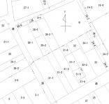
The entire compartment Figure全体区画図 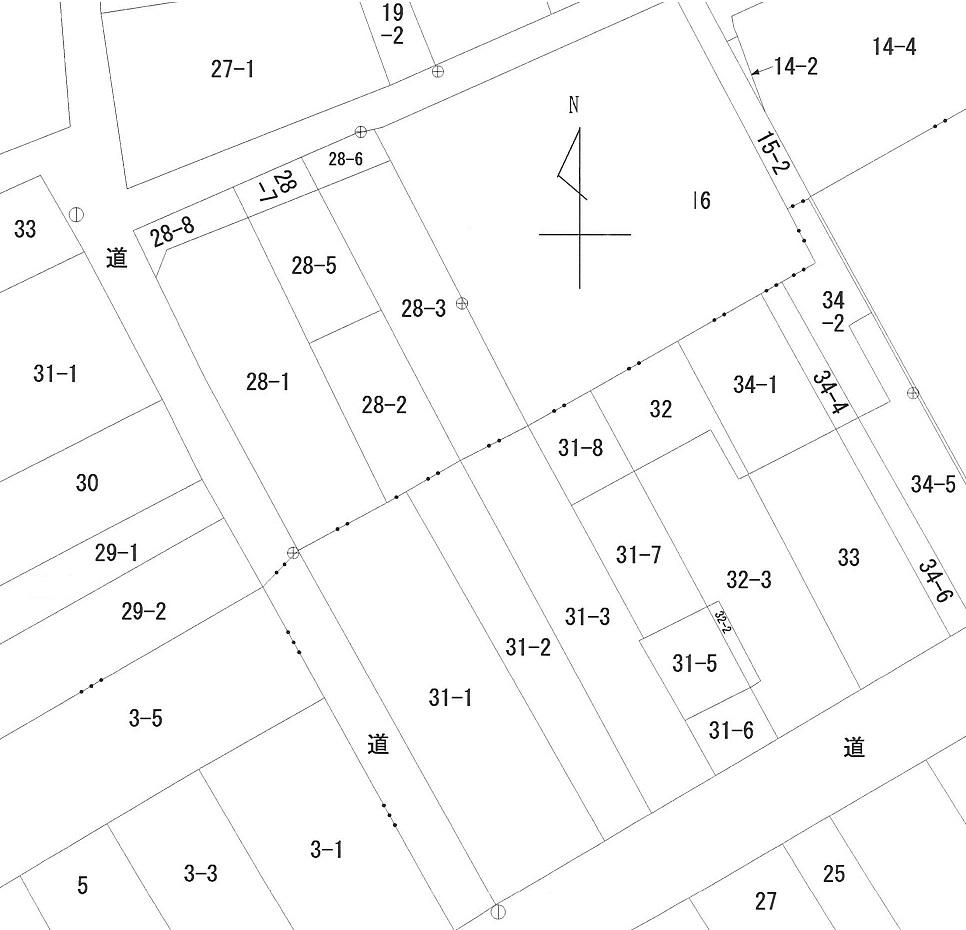 Public figure
公図
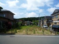
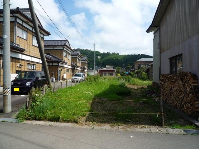
Local land photo現地土地写真 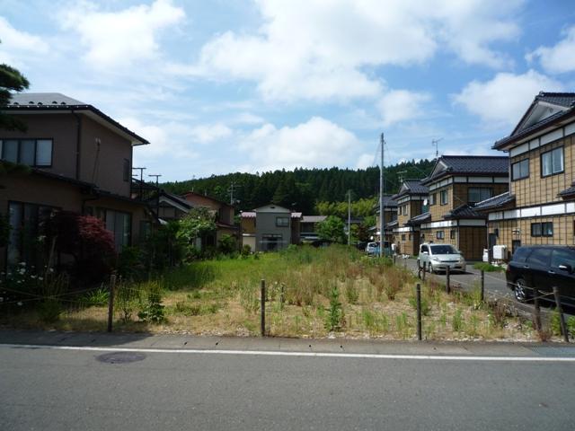 Shooting from the southeast side
南東側から撮影
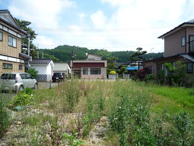
 Shooting from the northwest side
北西側から撮影
 Shoot the southwest side from residential land waypoints
宅地中間地点から南西側を撮影
Local photos, including front road前面道路含む現地写真 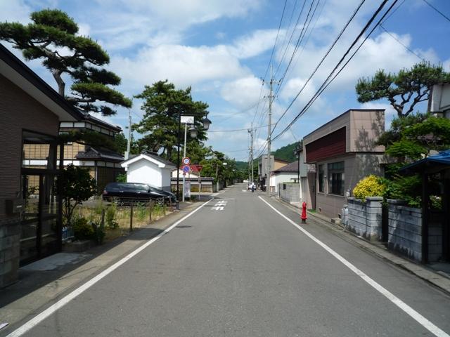 Southeast side of the front road
南東側前面道路
Primary school小学校 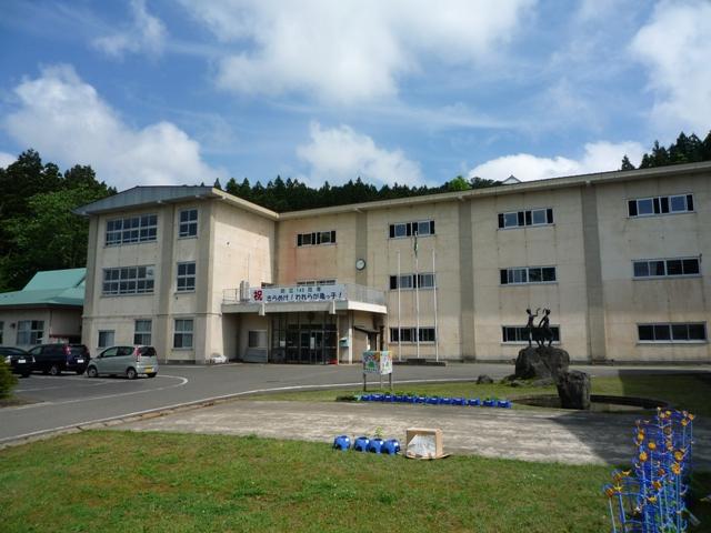 Yuri Honjo City Kameda to elementary school 400m
由利本荘市立亀田小学校まで400m
Local land photo現地土地写真 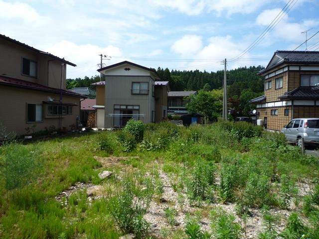 Shoot the northeast side from the residential land waypoints
宅地中間地点から北東側を撮影
Local photos, including front road前面道路含む現地写真 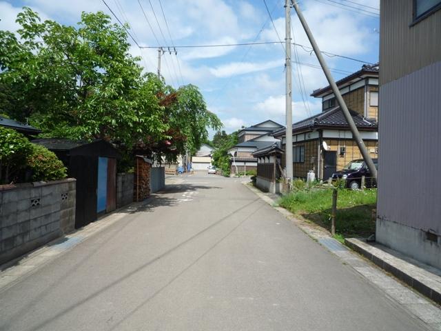 Northwest side of the front road
北西側前面道路
Kindergarten ・ Nursery幼稚園・保育園  208m until Kameda nursery
亀田保育園まで208m
Local land photo現地土地写真  Shooting from the south
南側から撮影
Post office郵便局 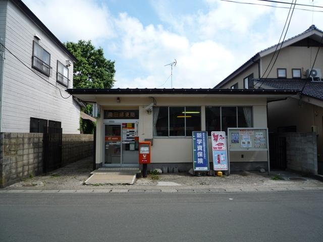 372m until Kameda post office
亀田郵便局まで372m
Junior high school中学校 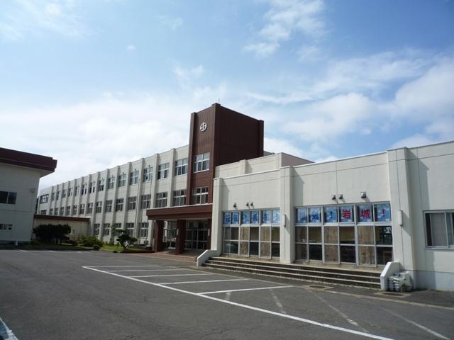 Iwaki 5200m until junior high school
岩城中学校まで5200m
Convenience storeコンビニ 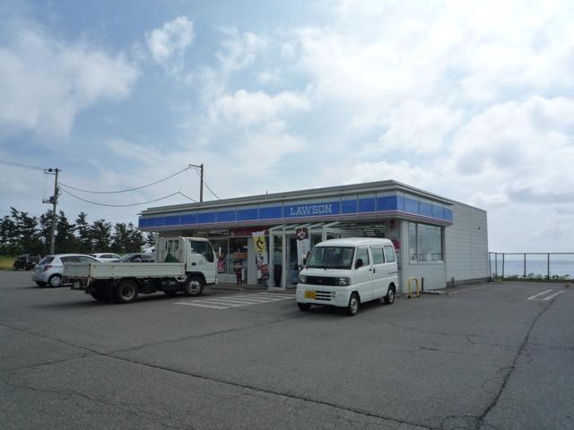 6300m until Lawson Iwaki two old shop
ローソン岩城二古店まで6300m
Supermarketスーパー 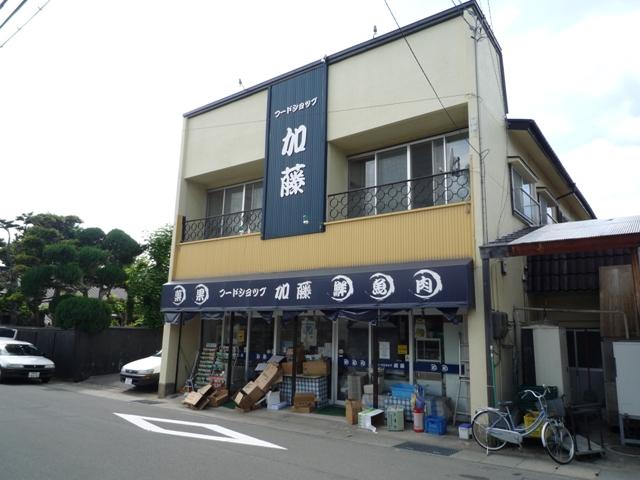 Kumataro Kato store up to 350m
加藤熊太郎商店まで350m
Hospital病院 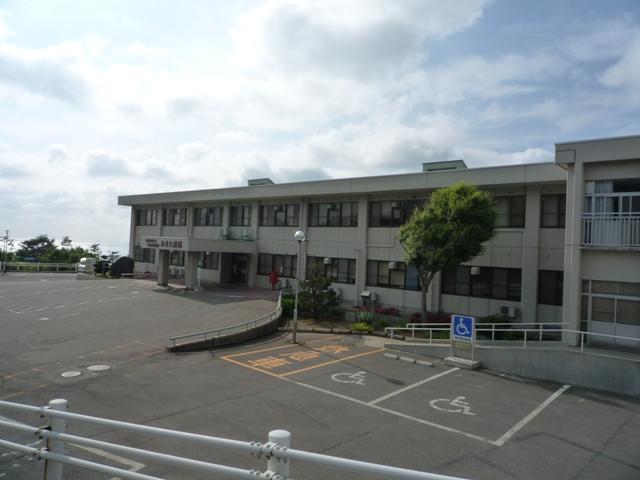 National Hospital Organization to the hospital, which was tired of 950m
独立行政法人国立病院機構あきた病院まで950m
Government office役所  200m to city hall Kameda Branch
市役所亀田出張所まで200m
Location
|