|
|
Kanagawa Prefecture Miura
神奈川県三浦市
|
|
Keikyū Kurihama Line "Misakiguchi" 24 minutes Jogashima Island Ayumi Ohashi 11 minutes by bus
京急久里浜線「三崎口」バス24分城ヶ島大橋歩11分
|
|
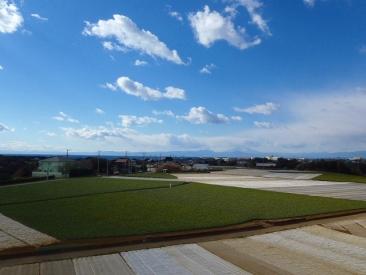
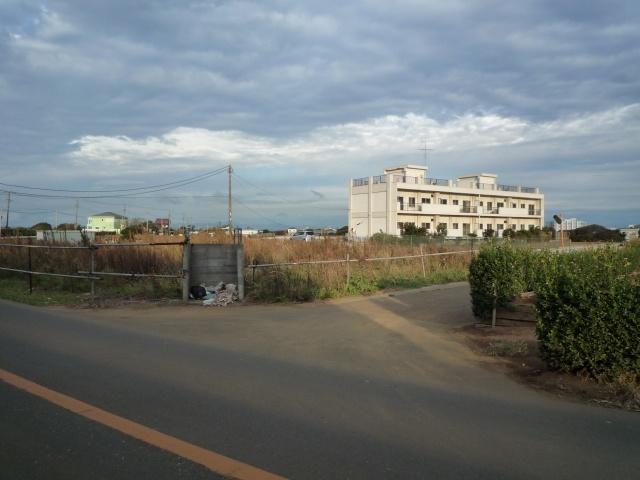
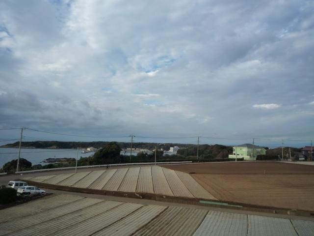
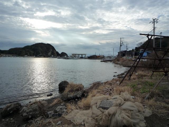
Scenic area of the Miura Peninsula ・ Scenic beauty ・ Jogashima Island and Mount Fuji views hill of the villa ground
三浦半島の絶景エリア・名勝・城ヶ島&富士山を望む高台の別荘地
|
|
Fresh seafood ・ Riches of the soil is also full! No construction conditions
新鮮な海の幸・山の幸もいっぱい!建築条件なし
|
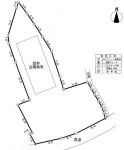
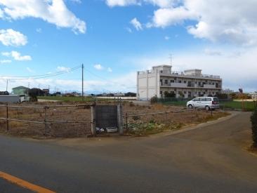
Features pickup 特徴ピックアップ | | Corner lot / Flat terrain 角地 /平坦地 |
Price 価格 | | 61,500,000 yen 6150万円 |
Building coverage, floor area ratio 建ぺい率・容積率 | | 40% ・ 80% 40%・80% |
Sales compartment 販売区画数 | | 1 compartment 1区画 |
Total number of compartments 総区画数 | | 1 compartment 1区画 |
Land area 土地面積 | | 2520.54 sq m (762.45 tsubo) (Registration) 2520.54m2(762.45坪)(登記) |
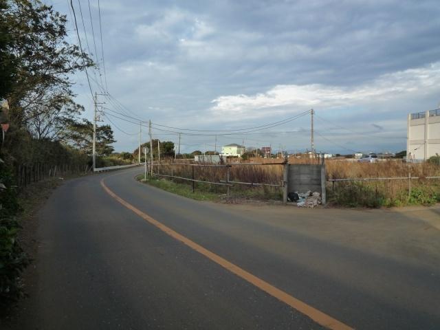
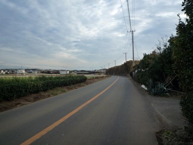
Driveway burden-road 私道負担・道路 | | Nothing, South 7.6m width (contact the road width 47.5m) 無、南7.6m幅(接道幅47.5m) |
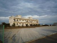
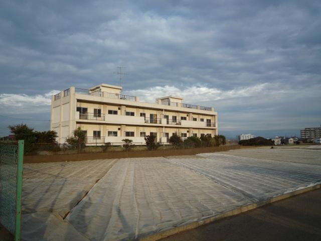
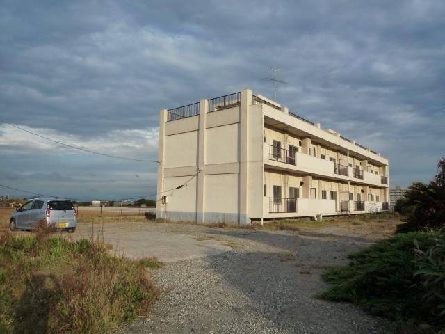
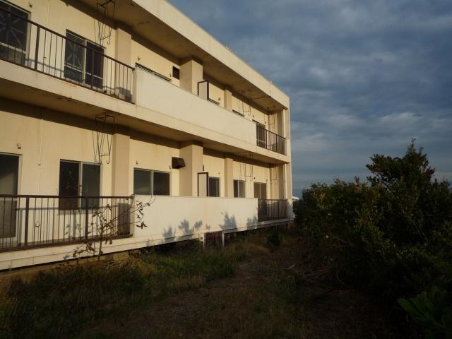
Land situation 土地状況 | | Furuya There 古家有り |
Address 住所 | | Kanagawa Prefecture Miura Miyagawa-cho, 1934-2 神奈川県三浦市宮川町1934-2 |
Traffic 交通 | | Keikyū Kurihama Line "Misakiguchi" 24 minutes Jogashima Island Ayumi Ohashi 11 minutes by bus 京急久里浜線「三崎口」バス24分城ヶ島大橋歩11分
|
Related links 関連リンク | | [Related Sites of this company] 【この会社の関連サイト】 |
Person in charge 担当者より | | Person in charge of real-estate and building Saito TadashiNobu Age: 30 Daigyokai Experience: 9 years [comment] Thank you for viewing. As you can sincerely willing able help to every one of our customers, You my best thinking movement. 担当者宅建齋藤正暢年齢:30代業界経験:9年【コメント】ご覧いただきありがとうございます。一人一人のお客様に心から喜んでいただけるお手伝いが出来ます様、精一杯考え動きます。 |
Contact お問い合せ先 | | TEL: 0800-603-2360 [Toll free] mobile phone ・ Also available from PHS
Caller ID is not notified
Please contact the "saw SUUMO (Sumo)"
If it does not lead, If the real estate company TEL:0800-603-2360【通話料無料】携帯電話・PHSからもご利用いただけます
発信者番号は通知されません
「SUUMO(スーモ)を見た」と問い合わせください
つながらない方、不動産会社の方は
|
Land of the right form 土地の権利形態 | | Ownership 所有権 |
Time delivery 引き渡し時期 | | Consultation 相談 |
Land category 地目 | | Residential land 宅地 |
Use district 用途地域 | | Urbanization control area 市街化調整区域 |
Other limitations その他制限事項 | | Suburban green space conservation area 近郊緑地保全地区 |
Overview and notices その他概要・特記事項 | | Contact: Saito TadashiNobu, Facilities: Public Water Supply, Individual septic tank, Individual LPG 担当者:齋藤正暢、設備:公営水道、個別浄化槽、個別LPG |
Company profile 会社概要 | | <Mediation> Governor of Tokyo (5) No. 072105 (Ltd.) com housing real estate distribution part Yubinbango151-0061 Shibuya-ku, Tokyo Hatsudai 1-37-11 <仲介>東京都知事(5)第072105号(株)コムハウジング不動産流通部〒151-0061 東京都渋谷区初台1-37-11 |